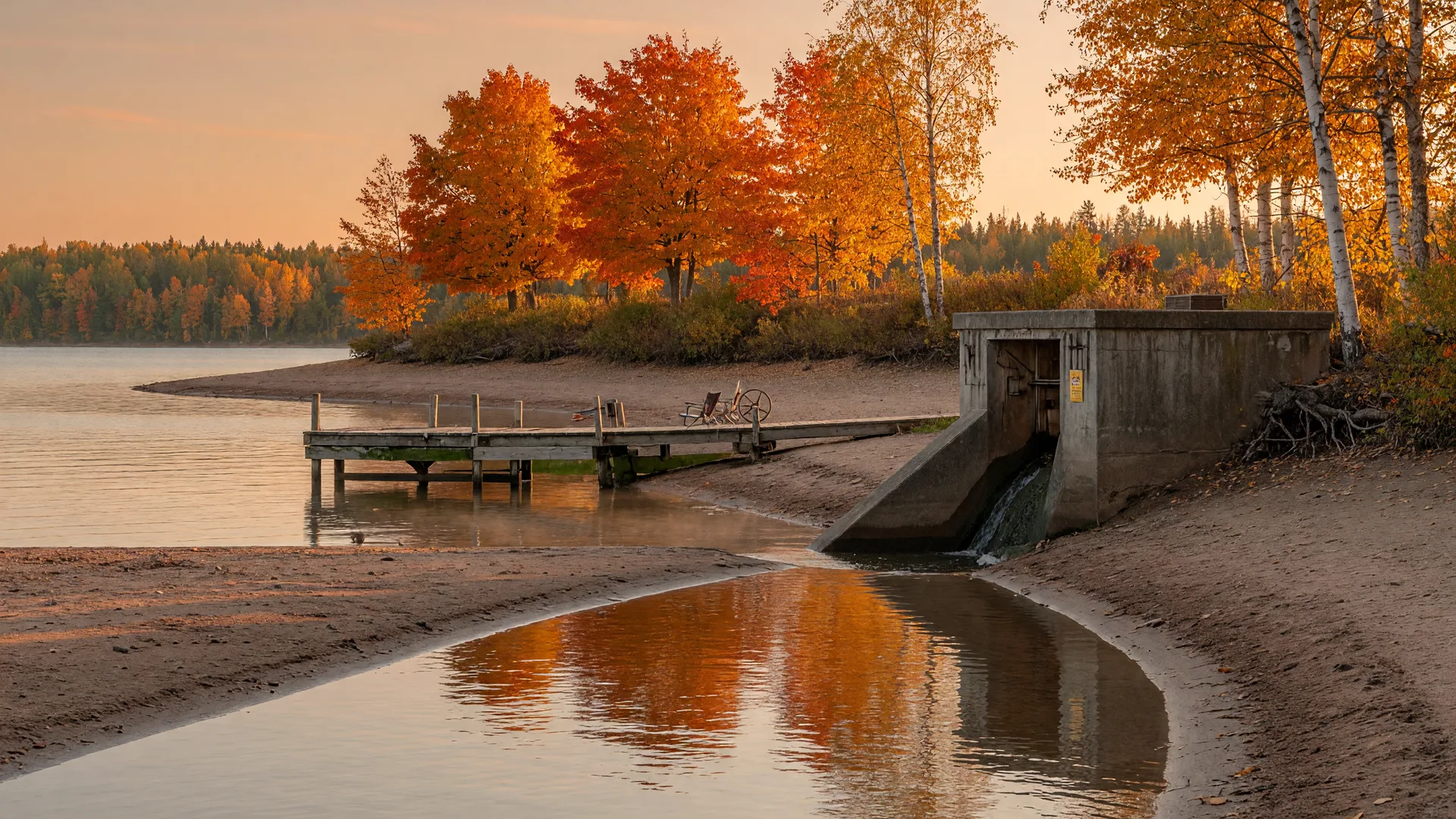
Every fall on the Whitefish Chain, the water level quietly drops. The lake that sat at the bottom of your dock all summer recedes a little, the beach widens, and the shoreline you could not see in July is suddenly there to walk. That is not an accident. It is the seasonal drawdown, managed year after year by the U.S. Army Corps of Engineers through the Pine River Dam at the outlet of Cross Lake. Here is how the chain's water levels are controlled, why the fall drop happens, and what it means for lake home owners near Crosslake.
Who controls the water level on the Whitefish Chain
The Whitefish Chain is 14 interconnected lakes, roughly 13,000-plus acres of water that rise and fall together as one pool, because they share a single outlet. That outlet is the Pine River Dam, sitting right in Crosslake where Cross Lake spills toward the Pine River. The dam is operated by the U.S. Army Corps of Engineers' St. Paul District as part of the Mississippi River Headwaters project, the same system of dams that manages flows all the way from the headwaters down to the Twin Cities.
The dam has deep local roots. The original timber structure dates to the mid-1880s, built in the logging era when crews ran white pine down the rivers, and it was rebuilt in concrete in the early 1900s before gaining leaf gates in 2002 that give operators finer control over the level. Today the Corps also runs the adjacent Crosslake Recreation Area campground and boat access, so the agency that holds the chain's water level is a constant presence in town. The Pine and Lakes Echo Journal and the Corps' own Cross Lake page both tell that story well.
Why the chain draws down each fall
The fall drawdown is intentional, and it serves several jobs that keep the chain healthy and its shoreline intact. After the summer recreation season winds down, the Corps lowers the lake toward its winter level, then tops it back up in spring. That annual cycle:
- Controls rooted aquatic vegetation. Dropping the water exposes nuisance weeds to freezing and drying over the winter, which knocks back the growth that would otherwise choke swimming beaches and propellers the next summer.
- Protects docks, retaining walls, and shorelines. A lower winter pool keeps ice away from the footings and faces of docks, seawalls, and riprap, reducing the scour and frost heave damage that moving ice can cause at summer levels.
- Opens the shoreline for maintenance. With the water low, owners can clean debris off the beach, inspect and repair erosion, and work on shore structures that are underwater all summer.
During the open-water season the Corps holds summer levels surprisingly tight, roughly within a 6-inch operating band at the dam, so the water does not swing wildly from week to week. The drawdown is the one big, predictable change of the year, and it is timed so the chain refills in time for the walleye opener each May.
What the drawdown means for your dock, lift, and shoreline
For lake home owners, the falling water is both a heads-up and an opportunity. As the level drops through late September and October, dock sections that were level in July start to slope, and boat lifts sit higher out of the water. Plan to re-level or re-rig your dock and lift as the water falls, and if your lift is cranked or winched, adjust it before the lake reaches its low mark, not after.
The exposed shoreline is the single best tool you get all year. Walk the bank now and look for freshly undercut soil, bare sections where runoff is eroding the slope, or gaps in a retaining wall that ice will make worse in February. This is also the window to clean up storm debris, rake the beach, and inspect anchor cables and lift posts that you normally cannot see below the surface. If you plan erosion repair or riprap work, the low-water season is when crews have the room to do it.
One rule of thumb for the fall: never leave the dock, lift, or boat strapped for winter at summer water levels. Minnesota shore structures also face the state's 21-day dry rule when they are removed from the water, so pull sections on schedule and let everything dry before it goes into storage. Your dock company will know this year's rhythm, but it is always smart to check the Corps' published numbers yourself.
WAPOA and the community's voice
The Corps runs the dam, but the community's advocate on the water is WAPOA, the Whitefish Area Property Owners Association. WAPOA does not operate the dam or set the drawdown; its job is stewardship, working with the DNR and the Corps on water quality testing, aquatic invasive species prevention, and shoreline restoration across the chain. After the high-water years on the Whitefish Chain, WAPOA has also been the organized voice asking the Corps for drawdowns to protect shorelines and lake structures. If you own on the chain, WAPOA's lake data and annual updates are worth following, and the Echo Journal has covered its meetings for years.
How to follow the water level yourself
You do not have to guess at the level. The Corps publishes real-time pool data from its gauge at the Pine River Dam in Crosslake, station CRLM5, through the U.S. Army Corps of Engineers Rivergages system, and the St. Paul District posts reservoir information for Cross Lake on its recreation pages. Because the exact drawdown depth and timing shift from year to year with rainfall and conditions, the authoritative answer is always the Corps' published data or a call to the St. Paul District office, not a neighbor's estimate. When the spring refill comes, the same gauge shows the chain climbing back to summer pool, which is its own sign that the lake season is close.
Why fall is the honest season for lakefront shoppers
The drawdown is also why autumn is such a good time to look at lake homes on the Whitefish Chain. At lower water you actually see the shoreline you are buying: how much beach there is, how the bank holds, whether erosion is a problem, and what the property looks like when the lake is not flattering it. Winter hides those details under snow and ice, and summer hides them under full pool. The honest view comes in October.
If you are weighing a lake home purchase, walk the shoreline during the drawdown and ask the questions that only lower water answers. 12388 Brookwood Circle sits right on the Whitefish Chain with a private sandy beach, and fall is a wonderful time to see exactly what that beach looks like when the lake is at its low mark. Contact Noah for a showing.
The Pine River Dam and the fall drawdown are part of what keeps the Whitefish Chain fishable, swimmable, and shoreline-safe year after year. Understanding the rhythm of the water makes you a better steward of your lake home, and a smarter buyer if you are shopping. 12388 Brookwood Circle is a rare chance to own the chain with a kept, beautiful beach, and fall is the perfect season to see it.
Contact Noah